Concern Increasing For Severe Weather Late Tuesday
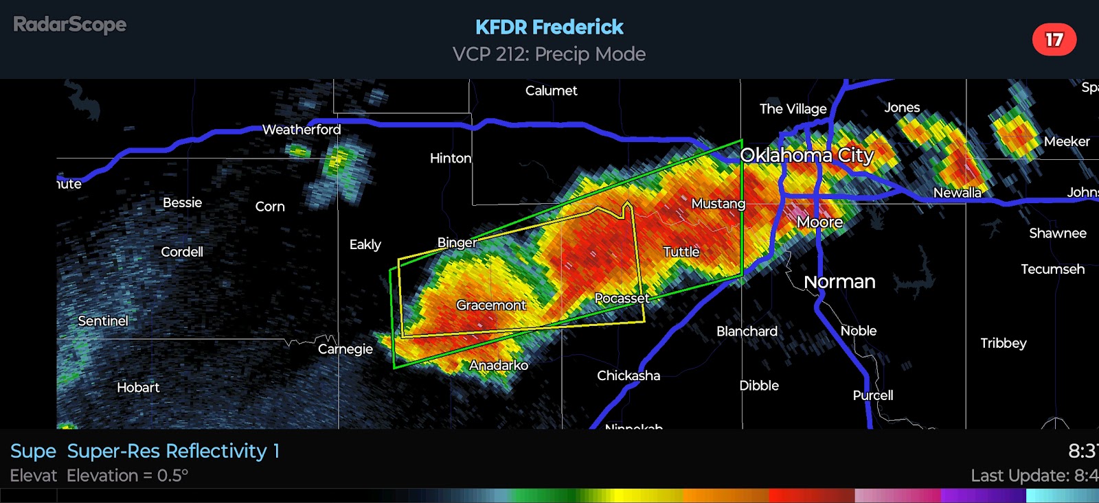
4:00 PM CDT | March 30, 2025 - Our next day of interest weather-wise is Tuesday. Rapid moisture return is expected during the day ahead of a strong weather system. Temps will make it into the 70*F's and even 80*F's across much of the state. A capping inversion will exist, and the weather model differ on the strength of it. If it is able to break, isolated supercells would be possible after 4:00 PM in Western Oklahoma. All hazards will be possible as activity shifts northeast. Most models suggest that the cap may not be broken until after sunset. All hazards would still be possible, but with the loss of daytime heating, the majority of storms may be rooted just above the surface. This would temper the Tornado Risk a bit, despite favorable wind fields and sufficient instability.
The Storm Prediction Center upgraded much of the state to a Slight Risk with a risk for significant severe highlighted. This appears to be for Very Large Hail up to the size of baseballs. I would not be surprised to see an upgrade to an Enhanced Risk in later outlooks, especially if late afternoon/early evening development becomes more likely. Stay tuned. Follow Oklahoma Storm Watch on Facebook too!


Comments
Post a Comment