A Couple Severe Storms Expected By Late This Afternoon
8:15 AM CDT | September 24, 2024 - I fully expect at least a couple Severe Storms late this afternoon and early this evening. The radar is quiet in terms of showers and thunderstorms this morning; however, there has been a lot of frequency pulsing over the last 10-12 hours. I have hand charted the signatures on the graphic below. Of course, they are still occurring with more expected over the course of the day. If you have been following this site, you know I am a believer in weather modification. The pulsing you see on radar is typically associated with charging the atmosphere through ionization. It sets the stage for thunderstorm development and intensification.
The most active site has been Wichita which has been pulsing southward through Central Oklahoma and into North Texas almost nonstop for several hours. In the process, it helped storms fire in Texas during the pre-dawn hours which were not expected. No chemtrails were seen in the skies yesterday evening here in West Central Oklahoma. Skies are so far clear of the trails this morning, which signals they will not try to shut development down as they often do.
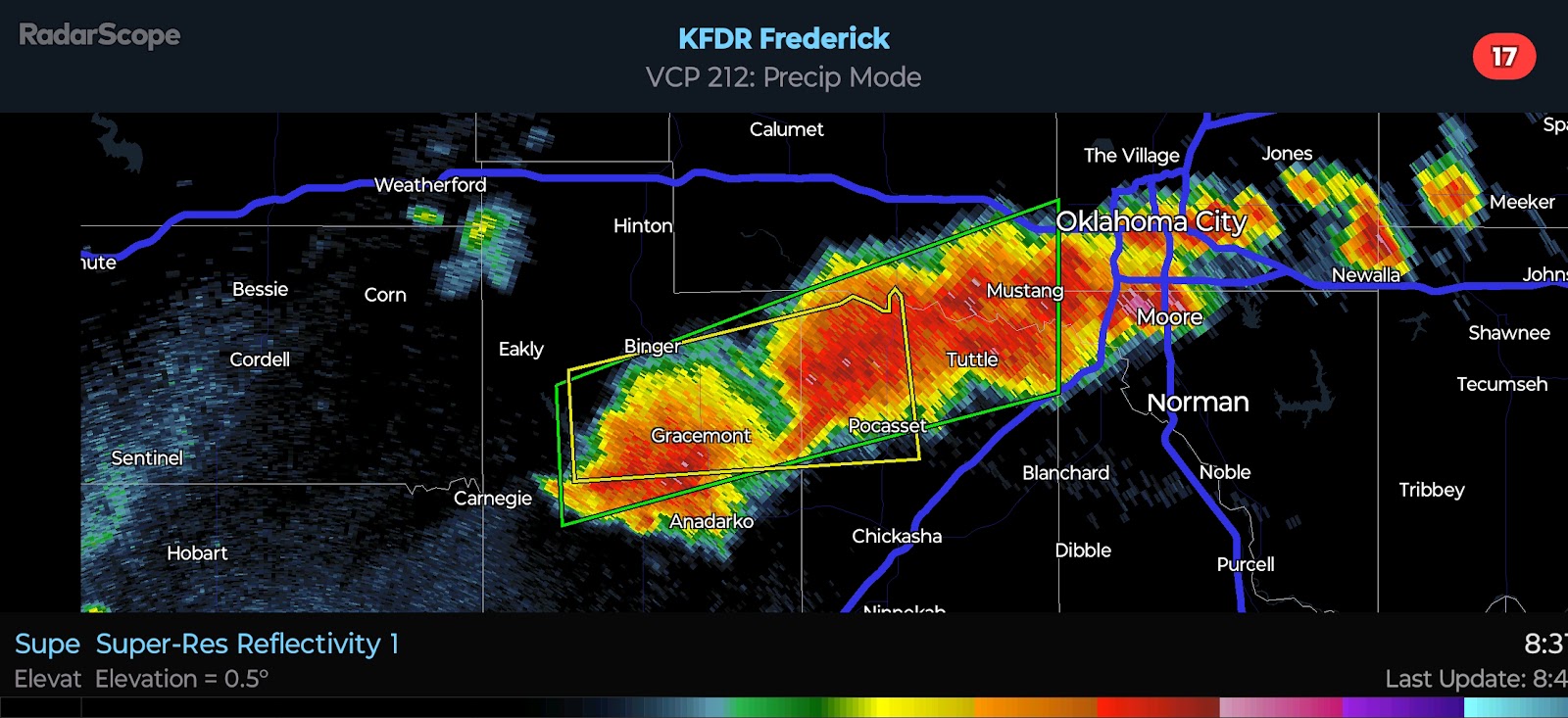
With all of that said, this is what I am thinking as far as the risk later today. The surface low will develop in Northwest Oklahoma and shift south-southeast, dragging two frontal boundaries with it. This will be the focus for development. I have shifted the risk area farther north and east, as well as upgraded parts of Central Oklahoma to a Slight Risk based on the pulsing signatures. The atmosphere is going to be charged for even a Supercell or two. The primary window for Severe Weather will be from 5:00 to 9:00 PM. Quarter to Ping Pong Ball-size Hail, Damaging Winds to 65 MPH, and a brief Tornado will be possible.
Cities included in the Slight Risk I have outlined include Kingfisher, Okarche, El Reno, Geary, Hinton, Yukon, Anadarko, Chickasha, Oklahoma City, Guthrie, Chandler, Edmond, Moore, Norman, Shawnee, Tecumseh, Pauls Valley, Seminole, Blanchard, and others.
Officially, the Storm Prediction Center only has a Marginal Risk outlined for portions of the state. Obviously, I believe the risk will be a tick higher and a bit farther east. I will start a live blog later today to post additional updates as things unfold. Stay tuned.


Comments
Post a Comment