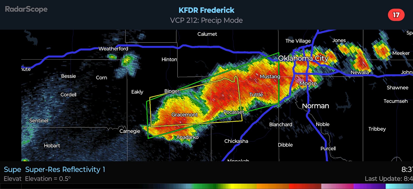
2024/06/04 - Oklahoma City Metro In Prime Location For Severe Weather Today
10:45 AM CDT | June 4, 2024 - A classic severe weather triple point will set up to the west of Oklahoma City by late afternoon. An outflow boundary from last night's storms swept south and west which will help to keep the dryline from advancing into Central Oklahoma. This places the OKC metro in a very favorable position for Severe Weather. I have drawn up a graphic to illustrate my personal thoughts below.
I anticipate storm development near and to the northeast of the triple point between 4:00 and 6:00 PM. Activity will track eastward initially, becoming more southeasterly as updrafts mature and rotate. Instability will be high, particularly along and south of I-40 where surface-based CAPE will exceed 5,000 j/kg. This will offset only marginal shear values for supercells. The result should be similar to what we have seen in recent days - supercells capable of Quarter to Baseball-size Hail and Damaging Winds. There will be the potential for a couple Tornadoes given some backing of the winds near/E of the triple point and the very high instability in place. Activity will merge into yet another MCS or two tonight.
Lastly, I have attached the most recent SPC Day 1 Outlook where you can see their thoughts. Their discussion has also been copied and pasted below. Remember, when in a life-threatening weather situation, ALWAYS refer to an official source - preferably the Storm Prediction Center and National Weather Service. The thoughts shared by yours truly are only intended to be supplemental.
SPC AC 041251

   Day 1 Convective Outlook
   NWS Storm Prediction Center Norman OK
   0751 AM CDT Tue Jun 04 2024

   Valid 041300Z - 051200Z

   ...THERE IS A SLIGHT RISK OF SEVERE THUNDERSTORMS THROUGH TONIGHT
   FROM THE LOWER MS VALLEY TO OK...THEN NORTHWARD ACROSS EASTERN
   KS...IA AND MN...

   ...SUMMARY...
   Scattered strong-severe storms with wind damage and large hail will
   be possible this afternoon/evening from the middle Missouri Valley
   to the upper Mississippi Valley.  An ongoing storm cluster near the
   Arklatex could persist through the day with some damaging-wind
   threat, and storms will be capable of producing isolated very large
   hail and severe outflow winds of 60-80 mph this evening into tonight
   across Oklahoma.

   ...Southern Plains to lower MS Valley through tonight...
   Another in a series of overnight MCSs is moving southeastward near
   the Arklatex, though the bowing system appears to have weakened
   prior to sunrise.  The MCS is moving into an area overturned
   yesterday across LA/AR, with the primary moisture/buoyancy feed into
   the MCS from the south-southwest from the unstable warm sector in
   TX.  There will still be some potential for eventual intensification
   of the storms as the low levels warm and moisten during the day, and
   the stronger embedded storms could produce damaging winds.

   Outflow from the morning storms will reinforce a composite outflow
   boundary, though the outflow is already somewhat diffuse with
   west/northwestward extent.  It appears that the outflow air mass
   will modify through the day across OK during the day.  There will be
   the potential for isolated thunderstorm development later this
   afternoon along the west edge of the richer moisture (near the
   western OK/TX border) where MLCAPE could exceed 5000 J/kg with only
   small convective inhibition.  However, forcing for ascent will be
   rather nebulous and storm initiation/coverage are both in question.
   If storms form, there will be just enough vertical shear for
   supercells capable of producing isolated very large hail, and
   perhaps an isolated tornado. Confidence is greater in renewed
   thunderstorm development across KS this afternoon and into OK late
   this evening into early tonight, as a weak surface cold front and
   associated midlevel trough will move southeastward and impinge on
   the very moist/unstable warm sector.  Very large buoyancy and nearly
   dry adiabatic lapse rates across OK will support large/tall storms
   capable of producing isolated very large hail initially, and an
   increase in the threat for damaging winds (60-80 mph) as storms grow
   upscale into another MCS tonight.

   ...Mid MO to upper MS Valleys this afternoon/evening...
   A midlevel shortwave trough and associated cold front will move
   eastward from NE/Dakotas to eastern KS/IA and WI by the end of the
   period.  The richest low-level moisture will remain farther south,
   but surface heating in pre-frontal cloud breaks and boundary-layer
   dewpoints in the 60s will contribute to MLCAPE of 1000-2000 J/kg.
   Vertical shear will be relatively weak in the warm sector which will
   primarily support multicell clusters and line segments capable of
   producing occasional wind damage and marginally severe hail.

   ...MO/IL today...
   A midlevel low over west central MO this morning will move
   northeastward toward central/northern IL by this evening.  Lingering
   clouds will tend to slow surface heating, though cloud breaks could
   allow modest destabilization and support a few strong thunderstorm
   clusters capable of producing isolated strong/damaging outflow gusts
   and marginally severe hail.

   ..Thompson/Grams.. 06/04/2024

.png)


Comments
Post a Comment