2024/06/03 - Noteworthy Setup For Oklahoma Unfolding This Morning
7:40 AM CDT | June 3, 2024 - The weather pattern has not favored anything real "tornadic" for Oklahoma since the last event in late May. Sure we have seen instances of wind damage and large hail, but the risk for tornadoes has been minimal. This may change later today and into tonight. Let me step through it...
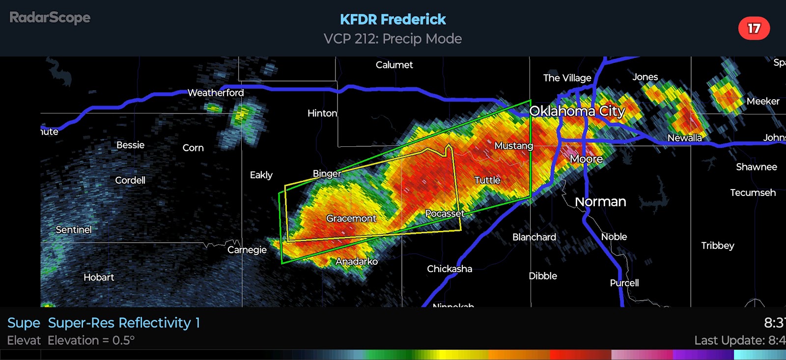
Right now, we have a Severe Thunderstorm Watch in effect until 12:00 PM for North Central Oklahoma. This is courtesy of the cluster that is producing 60 mph winds and up to quarter-size hail in a few spots. They are pulsing the radars across the region in order to direct the development and outflow. The leading edge of the outflow is being pushed in the direction of Guthrie. As such, I expect storms to weaken as they push toward the OKC and areas to the west. The primary focus for additional development/intensification will be to the north and east of OKC through early afternoon.
For the interesting part of this discussion... on the western flank of the residual outflow boundary, the environment will become quite favorable for supercells by late afternoon. It is difficult to say precisely where this will set up, but I have highlighted the general area I am watching. A few supercells capable of Quarter to Baseball-size Hail, Damaging Winds of 60-75 mph, and Tornadoes are likely. The risk will be greatest in the 6:00 PM to 10:00 PM period. Late this evening, the main risks will transition back to Damaging Winds and coin-size Hail as the boundary layer cools and cells merge into one or more clusters.
Lastly, we have the current SPC Day 1 Outlook. Their next outlook will be issued at 8:00 AM, and I will share that in a separate post later this morning. I will be live blogging into tonight, so check back on the homepage.


Comments
Post a Comment