2024/06/03 - LIVE BLOG: Severe Weather Risk Into The Overnight Hours
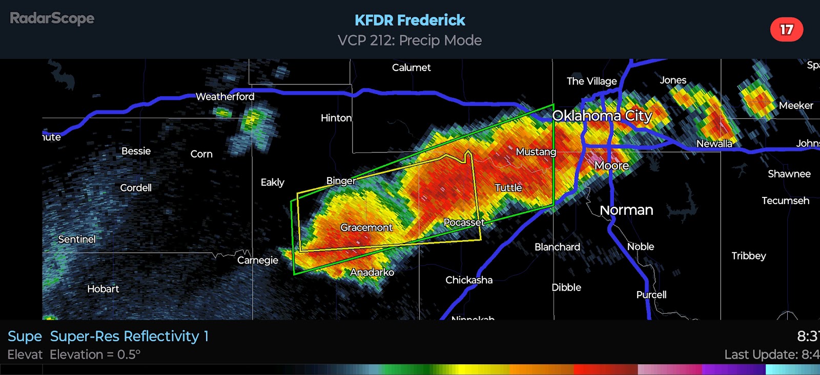
10:30 PM CDT UPDATE - Strong Storm development appears to be underway along the I-40 corridor, to the west of OKC. Activity is tracking toward the east right now, but as updrafts mature, they will track more toward the southeast while expanding. Again, Quarter to Baseball-size Hail will be possible with the most intense storms overnight with a secondary risk for Damaging Winds.
A conditional risk for Severe Weather will exist tomorrow for parts of the state. More on that in the morning. Good night and stay safe, everyone.
8:55 PM CDT UPDATE - There were a few Severe Thunderstorms in the Texas Panhandle and one strong storm this afternoon in Northwest Oklahoma. They have since dissipated. There appears to be a weak capping inversion located above the surface. Despite the largely favorable environment, the significant severe potential has not been realized. The SPC has maintained a Slight Risk for Central and Southern/Southeast Oklahoma tonight. The primary risk will be Quarter to Baseball-size Hail with any sustained storms. Damaging Winds and even a brief Tornado cannot be ruled out. It is not guaranteed that storms will develop due to the aforementioned capping inversion around 700 mb.
12:50 PM CDT UPDATE - Check out the following video for the latest information and trends.

.png)


Comments
Post a Comment