LIVE BLOG: Severe Weather Expected Today (May 25, 2024) Across Kansas, Oklahoma, and North Texas
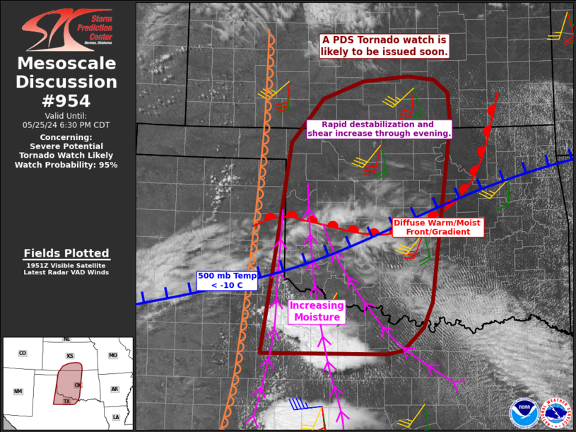
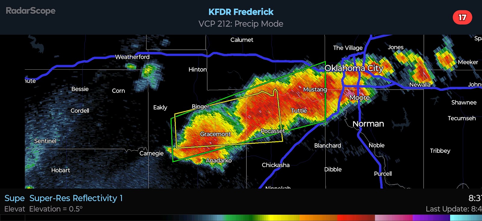
3:10 PM CDT UPDATE - A PDS (Particularly Dangerous Situation) Tornado Watch will be issued soon for Western/Central Oklahoma and adjacent parts of Northwest Texas and Southern Kansas.
12:30 PM CDT UPDATE - The SPC has made some changes to the risk areas with their most recent update, mostly to expand the higher risk probabilities farther south and east.
7:30 AM CDT UPDATE - I am going to be busy today and will not be able to update frequently until this evening, but I wanted to get a couple posts up this morning. There are a few things to mention. The SPC expanded the higher end severe probabilities into North Texas, which is what I was explaining in last night's discussion - that North Texans WILL see a higher risk of Severe Weather this afternoon and evening. The Moderate Risk will likely be extended into far NW/N TX with the Enhanced Risk pushed into the DFW metro. No High Risk has been issued yet for the region, but I feel one will be coming in the next update or two.
Next, I have illustrated where I have noted radar frequency pulses since late yesterday evening. The focus has been on SW OK/NW TX thus far. As you know from previous discussions, this is when they are charging the atmosphere through via ionization. You can see where the deepest moisture and greatest helicity values (spin in the atmosphere) are predicted by recent model guidance around 6 PM today.
Why is all this important? This is where I would anticipate Severe Storms to be focused - from Southwest Oklahoma into western North Texas. Activity will develop in the 3:00 to 5:00 PM period and rapidly intensify as it lifts east and northeast. Those helicity values illustrated below will increase and expand through the evening hours.


Comments
Post a Comment