2024/05/23 - Severe Weather Live Blog - May 23, 2024
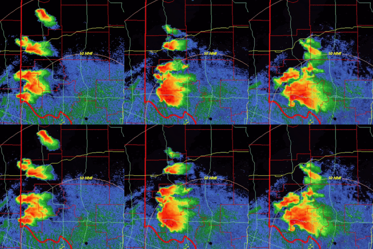
8:45 PM CDT UPDATE - Cycling Tornadic Supercell cluster in far Southwest Oklahoma collapsed the activity farther north. When thunderstorms are intense, they create their own environment. Subsidence on the backside was too much for the other cells to sustain themselves, despite the favorable environment. A Tornado Watch remains until 11:00 PM, but I would not be surprised to see many Texas counties removed and potentially those on the northern fringe in Oklahoma, near I-40. Significant redevelopment appears unlikely, in my opinion. Focus will be on the existing activity.
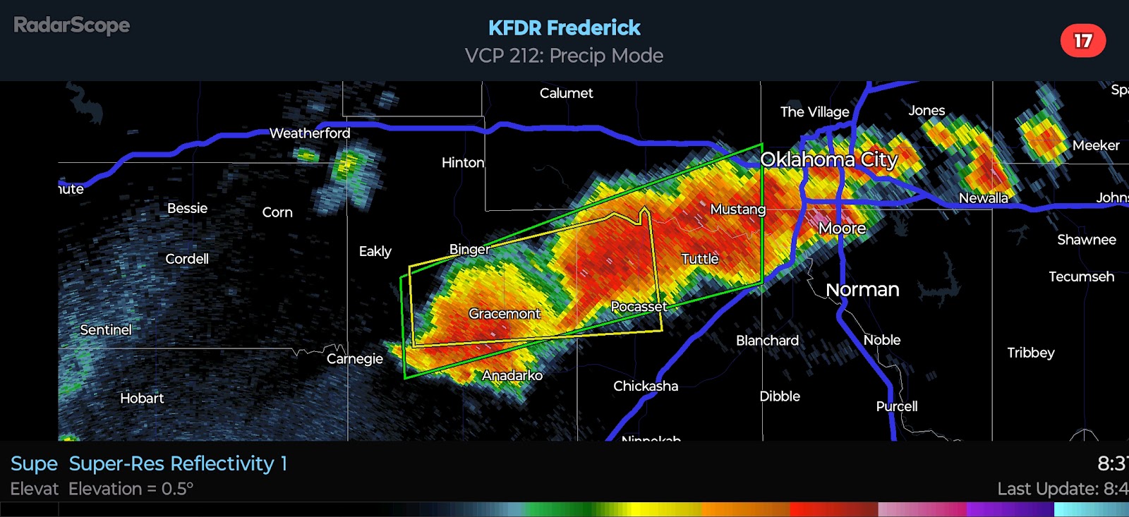
7:20 PM CDT UPDATE - Most intense supercell has been located just west of Altius this evening. There is a large, extremely dangerous Tornado on the ground as of the writing of this post. This is a capture of the latest radar. Note, it does NOT update.
3:55 PM CDT UPDATE - Widely scattered storms will continue to develop off the dryline over the next 2-3 hours. The most favorable conditions for Severe Weather are currently across NW TX and W OK. Activity that develops or moves into this region will be in a very favorable environment for supercells. Isolated storms have been noted recently in Central Oklahoma. One or two Severe Storms will be possible ahead of the dryline activity, but it is the dryline activity that will pose the greatest risk.
Farther south, strong to severe storms continue in North Central Texas with a cold pool noted into far Southern Oklahoma. The airmass is much more stable in this area.


Comments
Post a Comment