2024/05/23 - Evolution Of Today's Storms Becoming Clearer
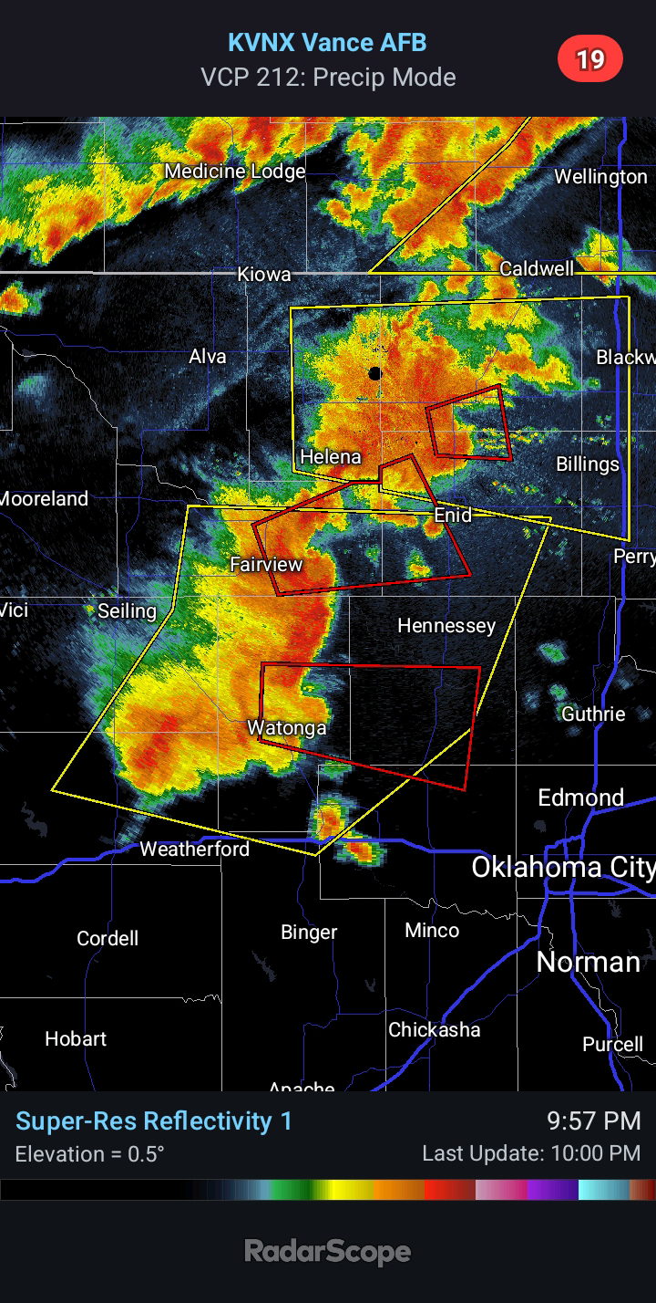
9:30 AM CDT | May 23, 2024 - Last night, a cluster of storms unexpectedly developed in South Central Oklahoma. Not surprising, they had a little help... You can see repeated radar pulses firing into the area before and during development. The purpose of this, in my opinion, was to send an outflow boundary southward to back winds more toward the southeast today across Oklahoma.
This morning, the radar has been pulsing out of Cannon AFB in eastern New Mexico. The frequency has been aimed toward the Texas Panhandle/NW TX and Western OK. This would be to charge the atmosphere where storms are expected to develop late this afternoon off the dryline. You can also see evidence of the frequency pulses with the "gravity waves" in the area. These are the ripples/breaks in the cloud cover that remain stationary in the SE TX Panhandle/NW TX, despite the clouds moving. Watch the loop and see for yourself.
The Storm Prediction Center has a Slight Risk for much of the state today and into tonight. I feel that a few supercells are a good bet. Quarter to Baseball-size Hail, Damaging Winds of 60-75 mph, and a few Tornadoes will be possible with any sustained storms later today. The Tornado Risk will be greatest in the 7:00 to 10:00 PM period. This would place West Central Oklahoma at greatest risk, in my opinion. I would not be surprised to see an upgrade later today.
Since I have seen no chemtrailing to shut down development west of OKC... the fact that they are charging the atmosphere in the Eastern TX Panhandle and Western Oklahoma this morning, all of this points toward an active late afternoon and evening. Focus for Severe Storms could include those along the I-40 corridor near and west of Oklahoma City, similar to last time.


Comments
Post a Comment