2024/05/19 - Live Blog: Potentially Significant Severe Weather Possible Into Tonight
LIVE BLOG
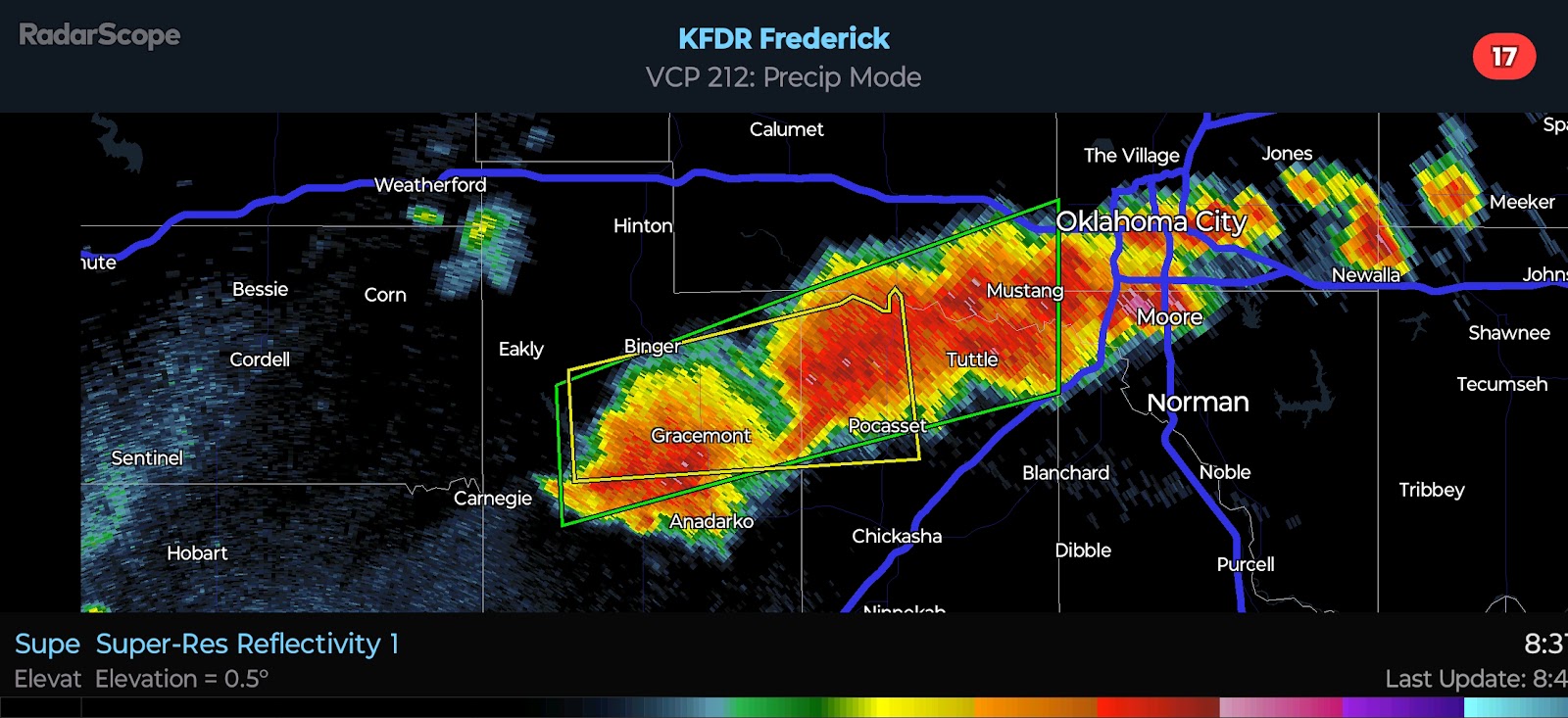
9:17 PM CDT UPDATE - Supercell with a history of producing Tornadoes is moving toward the western OKC Metro. Dangerous situation.
4:53 PM CDT UPDATE - There are two severe storms near the TX/OK border. The northernmost cell is what is referred to as a left-moving supercell. The greater severe/tornado risk is going to be with the southernmost cell as it tracks eastward into far Western Oklahoma. Mature supercells with strong updraft rotation will have the potential to track more toward the E/SE. With that in mind, the I-40 corridor needs to monitor.
3:10 PM CDT UPDATE - PDS Severe Thunderstorm Watch is in effect until 10 PM for parts of Northwest Oklahoma. All hazards are expected across the watch area. Damaging Winds of 60-90 MPH will be the primary hazard, followed by Hail from the size of Quarters to Softballs, and a few Tornadoes. The Damaging Wind threat will be greatest in Kansas, while the Tornado Risk will be greatest in Oklahoma, where cells will be more discrete. Based on trends, I would not be surprised to see some counties added farther south and east this evening.
2:17 PM CDT UPDATE - I am monitoring for storm initiation in the NE TX Panhandle this afternoon. Cumulus clouds continue to increase across the Panhandles as lift increases ahead of our disturbance.


Comments
Post a Comment