2024/05/15 - Live Blog: Severe Weather Possible Into Tonight
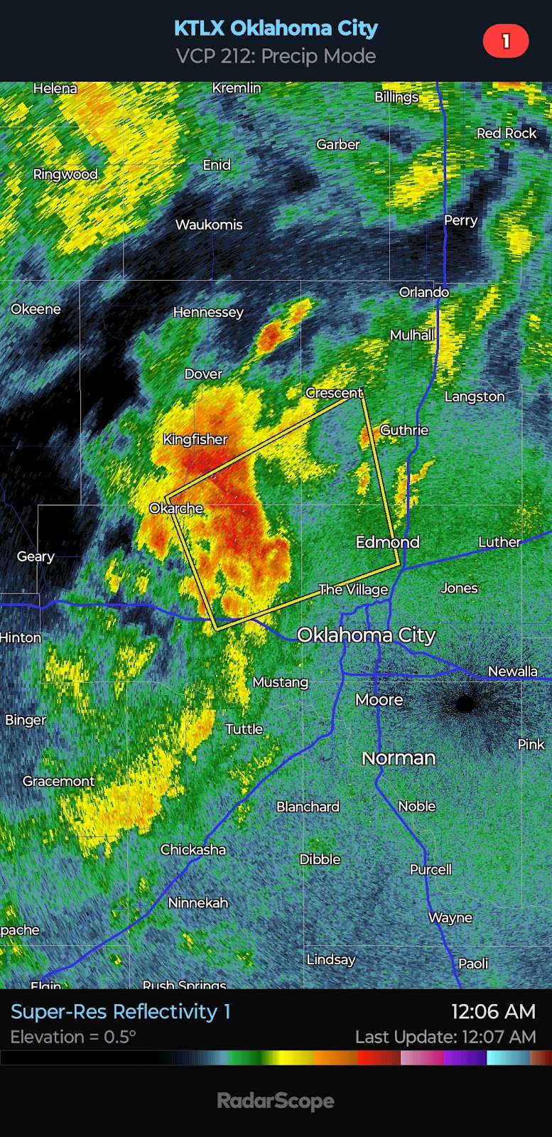
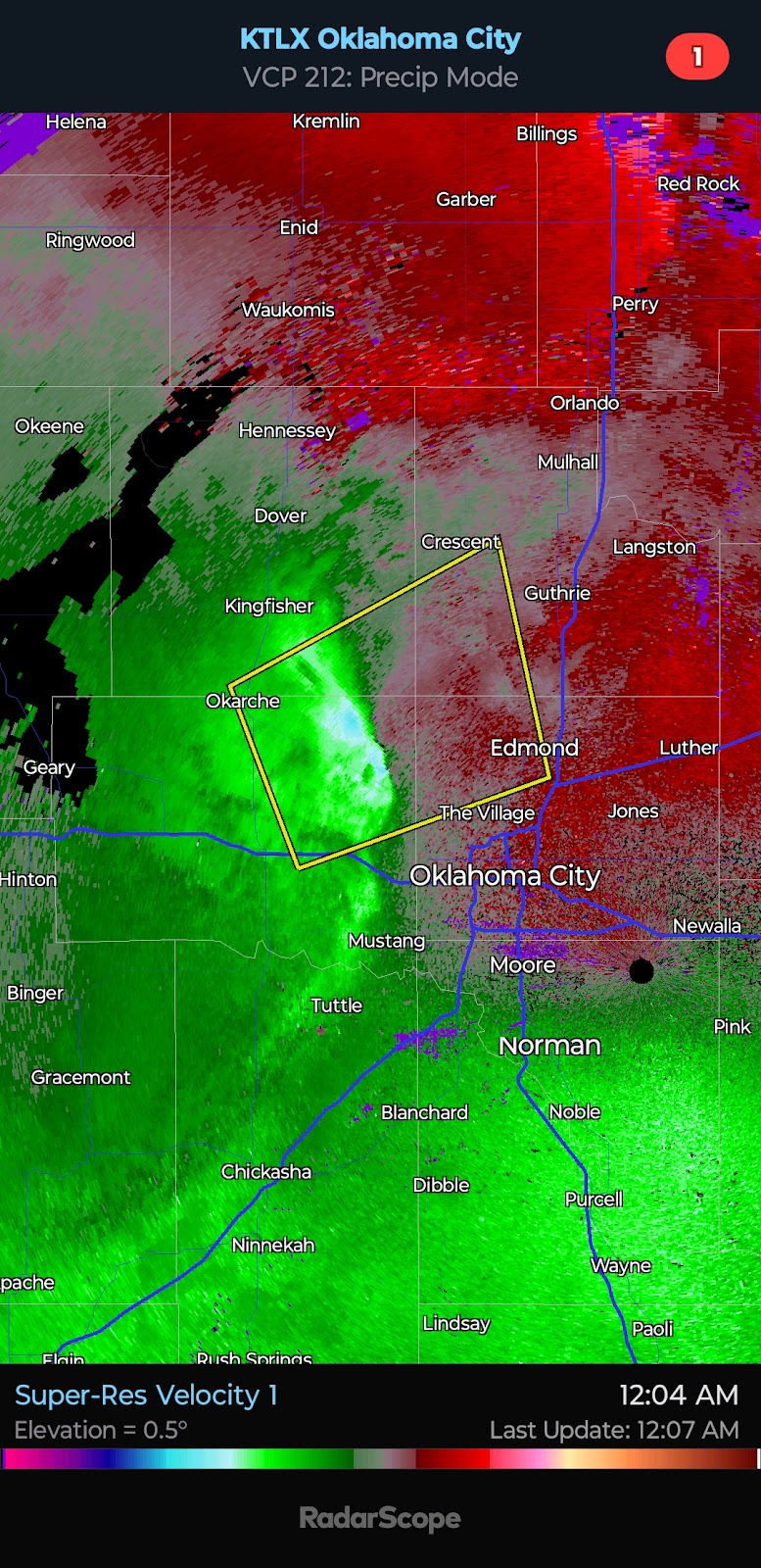
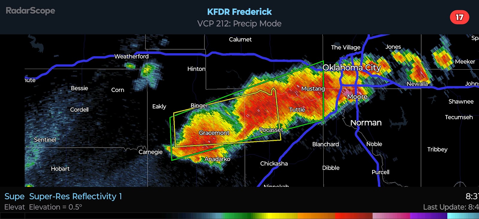
12:07 AM CDT UPDATE - Weather engineering was apparent today between jet spraying and radar frequency pulsing... The intent appeared to be for at least a delay in activity along I-40 (potentially impacting OKC) until late evening to reduce the severity. As mentioned in the morning update, though, the enhanced risk has set up in the vicinity of the I-40/44 corridors with a severe storm approaching Piendmont/NW OKC and eventually Guthrie and Edmond.
4:50 PM CDT UPDATE - On the Amarillo WSR-88D Radar, you can see two distinct beams. The first is directed toward a supercell in the northwest TX Panhandle, and the second is directed in the opposite direction toward a supercell in the southeast TX Panhandle. Not surprising, the cells intensified shortly after the frequency pulse was seen. The radar system has that capability, and to the naked eye and those not "in the know" - it would appear as feedback or a glitch. It is not.


Comments
Post a Comment