2024/05/13 - Severe Risk Returns Wednesday, May 15, 2024
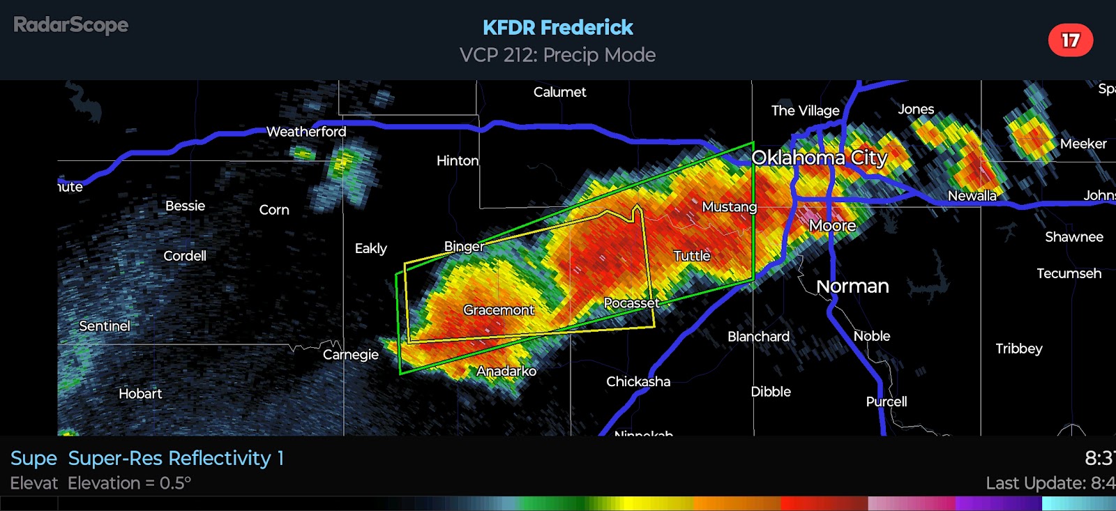
9:15 PM CDT | May 13, 2024 - A wetter but disorganized weather pattern will continue. The risk for Severe Weather will increase by Wednesday afternoon. A weak surface low is forecast to develop in Northern Oklahoma with a frontal boundary/wind shift trailing it. Compressional warming near the boundary, coupled with southwesterly winds, will result in temperatures peaking in the upper-80*F's to lower-90*F's across Northwest/Western Oklahoma. Widely scattered storms will fire in the very warm environment. Forecast soundings suggest that Damaging Winds of 60-65 mph will be the primary hazard, followed by Quarter to Half Dollar-size Hail. The Tornado Risk appears VERY low. Shear is not expected to be very strong which is unusual for this time of year, and it will serve to keep the severe risk on the lower end of the spectrum.
A lower end severe risk will exist on Thursday, but it is too early to outline any areas. A weather pattern more typical of May is likely to return by next week with the potential for a couple days of enhanced severe potential for parts of the state. This will be discussed and refined in the days ahead.


Comments
Post a Comment