2024/05/03 - Additional Flooding & Isolated Severe Through Weekend
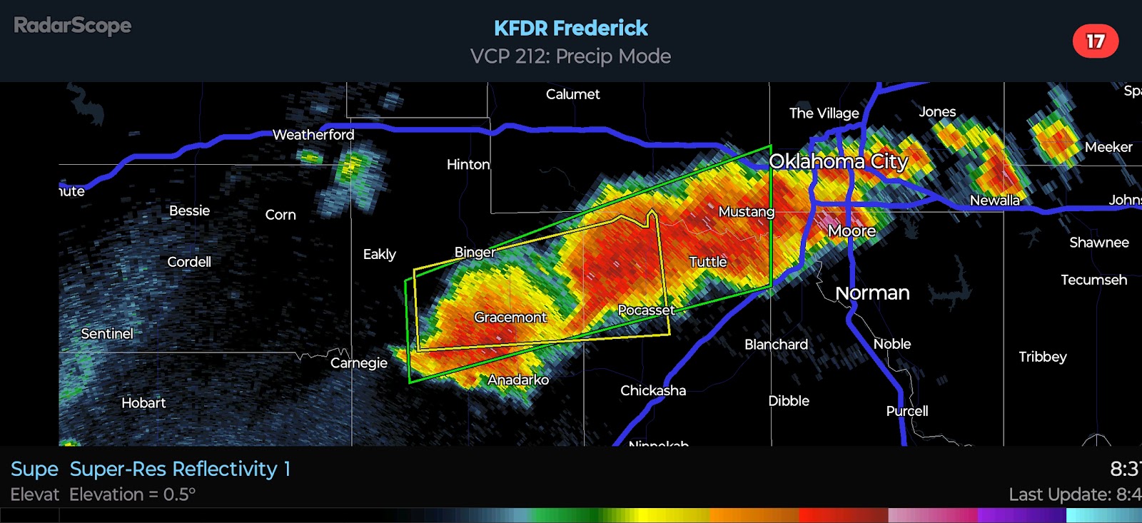
9:40 PM CDT | May 3, 2024 - An active weather pattern will continue across the Southern Plains through the weekend. There is a Flood Watch in effect for a good portion of Oklahoma. The Weather Prediction Center is forecasting widespread rainfall amounts of .50-2.00" occurring through Sunday evening. Isolated higher amounts in the 3.00 to 4.00" range is likely with areas that see heavier storms.
The SPC currently has a Slight Risk across most of the state with an Enhanced Risk for parts of North Central Oklahoma. There is disagreement with the model guidance, mainly in regards to the cap strength and storm coverage with southward extent. My gut feeling is that, with plentiful rain and atmospheric overturning through Sunday, a strong capping inversion is unlikely to build into the state Monday afternoon. A capping inversion will exist, but I believe it will be breakable - at least along and north of I-40. I would anticipate a southward extension of the Enhanced Risk in later outlooks. Regardless, I will be sharing my own thoughts in more detail tomorrow night.


Comments
Post a Comment