2024/04/30 - Update On Tonight's Storms & Ramifications For Wednesday
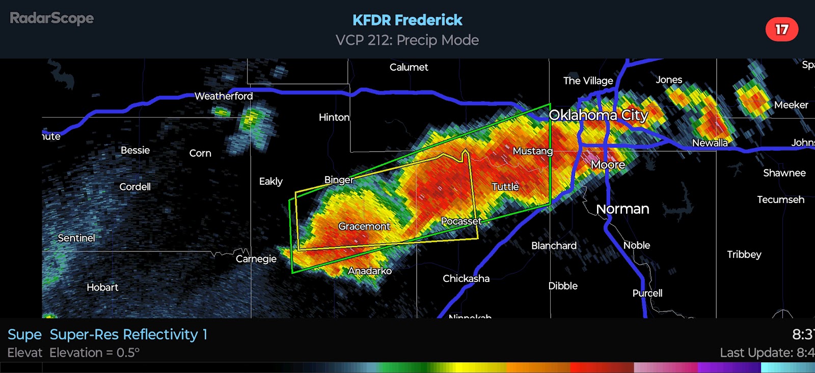
11:15 PM CDT | April 30, 2024 - Strong to Severe Storms continue tonight across the state. Northern Oklahoma is being impacted as well as Southwest Oklahoma. There have been multiple observed Tornadoes in the latter part of the state since late afternoon. Despite this, the SPC/NWS waited to issue a Tornado Watch until nearly 10:30 PM. Another absurdity was stating "couple Tornadoes possible" in the watch text while a large and extremely dangerous Tornado was on the ground outside Loveland. In the 8:00 PM Day 1 Outlook, they made only a minor extension of the Slight Risk. It is critical, in my opinion, that they make adjustments based on the real-time trends, not simply what the guidance suggests *should* happen. As noted in my prior discussions, outflow boundaries play a key role in the Tornado Risk with this type of environment.

Given that the ongoing storms in the north have already sent an outflow boundary southward with additional ones expected, they will need to be more vigilant with tomorrow's risk. At face value, the environment tomorrow will favor mainly Large Hail and Wind; however, the increase in low-level shear along/behind any outflow boundaries locally enhance this risk. This is in part what has happened since this afternoon. Storm mergers and boundary interactions are making for locally enhanced risk areas. I will update in the morning. Stay safe, everyone.
Radar Screenshot (Not Updating)


Comments
Post a Comment